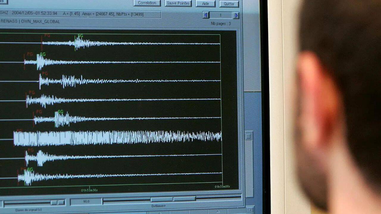
When news alerts flash about a 6.3-magnitude earthquake in the Bonin Islands region of Japan, your first instinct is probably to brace for tsunami warnings. That makes sense. Japan sits on the volatile Pacific Ring of Fire, and any tremor above 6.0 sounds dangerous on paper.
Yet most earthquakes in the Ogasawara archipelago—known internationally as the Bonin Islands—pass with zero coastal evacuations, minimal structural damage, and barely a ripple on tide gauges.
If you only look at the headline number, you miss the entire geological story. Understanding why a 6.3-magnitude quake here behaves so differently from one off the coast of Fukushima or Noto comes down to depth, tectonic mechanics, and sheer ocean geography.
The Depth Factor Changes Everything
Magnitude measures the total energy released at the earthquake's hypocenter, the exact point underground where rock fractures. It doesn't tell you how hard the ground shakes at the surface. For that, seismologists look at focal depth and seismic intensity.
Earthquakes along the Izu-Bonin Trench routinely occur at intermediate to deep levels—often between 100 and 500 kilometers below the seafloor. Compare that to the catastrophic 2011 Tohoku earthquake, which ruptured at a shallow depth of roughly 29 kilometers, or the January 2024 Noto Peninsula quake at around 16 kilometers.
Deep earthquakes lose massive amounts of energy before their seismic waves ever reach the surface. By the time those waves travel upward through hundreds of kilometers of dense mantle and crust, the violent high-frequency shaking has diffused across a wide area.
You might feel a slow, rolling sway in Tokyo—nearly 1,000 kilometers to the north—a phenomenon Japanese meteorologists call ijo shindo (anomalous seismic intensity), where seismic waves travel efficiently up the subducting Pacific Plate. Meanwhile, the islands sitting directly above the epicenter barely rattle.
Why Tsunami Alerts Stay Quiet After a 6.3 Quake
Tsunamis don't happen just because the ocean floor shakes. They happen when a massive volume of water gets displaced vertically, usually by a shallow megathrust fault snapping upward like a giant springboard.
Three specific factors keep tsunami risk low during a typical 6.3-magnitude Bonin Islands event:
- Insufficient vertical displacement. A 6.3-magnitude rupture typically spans a fault area of roughly 15 to 20 kilometers. At depths exceeding 50 or 100 kilometers, that movement doesn't warp the seafloor enough to push millions of tons of water upward.
- Energy threshold limits. According to historical data from the Japan Meteorological Agency (JMA), significant tsunami generation in subduction zones generally requires a shallow earthquake of magnitude 7.0 or higher. Below 6.5, even shallow marine quakes rarely produce more than minor sea-level fluctuations of a few centimeters.
- Deep water dissipation. The Izu-Bonin Trench plunges over 9,000 meters deep. Any minor surface disturbance generated out in the open Philippine Sea spreads radially across vast stretches of deep ocean before hitting populated coastlines.
When the JMA issues its standard post-quake bulletin noting "no tsunami risk from this earthquake," it isn't downplaying the hazard. The physics simply don't support wave generation.
Inside the Izu-Bonin Subduction Zone
To grasp why this specific patch of the Pacific produces so many mid-sized tremors, look at the plates grinding beneath it. Here, the ancient, heavy Pacific Plate dives westward beneath the Philippine Sea Plate along the Izu-Bonin-Mariana arc system.
This boundary behaves very differently from the Japan Trench further north.
In northern Japan, the subducting plate locks tightly against the overriding crust, building up centuries of strain until it snaps in giant magnitude 8.0 or 9.0 megathrust events. Along the Bonin segment, the Pacific Plate sinks at a much steeper angle—nearly vertical in some sections. Because the plates aren't wedged together under extreme horizontal friction, stress releases more frequently through moderate earthquakes in the 5.5 to 6.8 range.
In May 2015, a massive 7.8-magnitude earthquake struck beneath the Bonin Islands at an extraordinary depth of 677 kilometers—deep within the Earth's mantle transition zone. Despite being felt across all 47 Japanese prefectures, it caused zero tsunamis and virtually no structural damage. That event proved how dramatically depth neutralizes surface destruction in this region.
What Most Coverage Gets Wrong About Magnitude vs Intensity
International news outlets love leading with the Moment Magnitude ($M_w$) scale because a single number fits neatly into a push notification. Honestly, that habit creates unnecessary panic whenever a 6.0+ quake hits anywhere near Japan.
In Japan, emergency responders and residents barely pay attention to magnitude during the first critical minutes. They watch the Shindo scale—the JMA's seismic intensity rating that measures actual ground shaking at specific observation stations from Shindo 0 up to Shindo 7.
A shallow 5.5-magnitude quake directly beneath a crowded city can register Shindo 6-Lower, collapsing older wooden structures and triggering landslides. Conversely, a 6.3-magnitude earthquake 150 kilometers beneath the Bonin Islands often registers just Shindo 2 or Shindo 3 on Chichijima and Hahajima—the only two inhabited islands in the chain. At Shindo 3, indoor hanging lamps swing noticeably, dishes rattle in cabinets, and most people feel it, yet nobody's roof caves in.
If you ever see a breaking alert about an earthquake in Japan, check the Shindo rating before checking the magnitude. That single shift tells you immediately whether people are in danger or just sipping their tea while the floorboards hum.
Life on the Bonin Islands During Seismic Activity
Roughly 2,500 people live across Chichijima and Hahajima, located about 1,000 kilometers south of mainland Tokyo. There's no airport. Reaching the islands requires a 24-hour voyage aboard the Ogasawara Maru ferry from Takeshiba Pier in Tokyo Bay.
Because medical evacuation takes hours by helicopter or days by sea, local disaster preparedness is strict. Buildings adhere to Japan's post-1981 Shin-Taishin seismic building codes, engineered to flex rather than fracture during sustained shaking. Coastal communities maintain clearly marked tsunami evacuation routes leading to high volcanic ridges well above 30 meters elevation, even though most regional tremors never require using them.
Residents treat a 6.3 offshore tremor as routine background noise. When the JMA's Earthquake Early Warning system chimes on local phones, people step away from unsecured shelves, wait ten seconds for the rolling motion to pass, check the JMA app for tsunami advisories, and go right back to work.
How to Verify Real-Time Earthquake Data Yourself
Relying on viral social media clips after an earthquake hits Japan is a guaranteed way to get misled—old footage from 2011 or 2024 routinely resurfaces minutes after any tremor above 6.0. Instead, bookmark the primary telemetry sources seismologists actually use:
- Japan Meteorological Agency (JMA) Earthquake Information Portal: Provides real-time Shindo maps, exact hypocenter depth, and official tsunami warnings within two minutes of any domestic event.
- USGS Earthquake Hazards Program: Offers detailed focal mechanism diagrams ("beachball" plots) showing whether the fault slipped horizontally, compressed, or pulled apart—critical data for understanding tectonic stress.
- Pacific Tsunami Warning Center (PTWC): Tracks deep-ocean DART buoys across the Pacific Basin to confirm whether actual wave energy is propagating outward.
Check the depth first, read the Shindo intensity second, and verify official tsunami bulletins directly through the JMA before sharing breaking earthquake alerts.