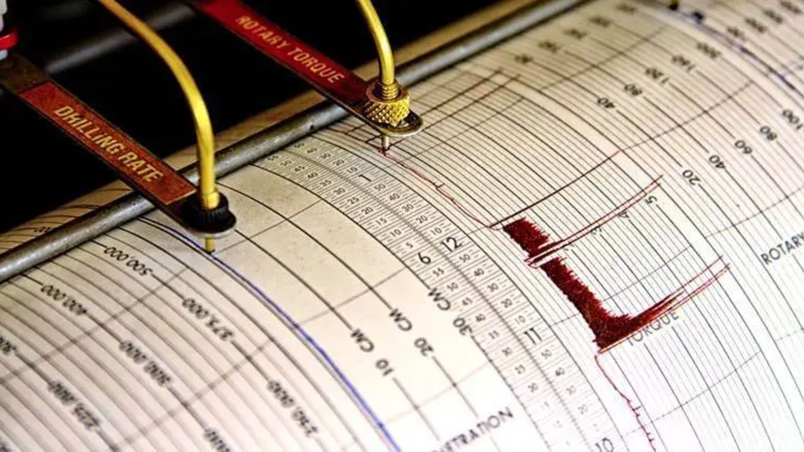
A sharp 5.9 magnitude earthquake struck near Te Anau in the southwestern corner of New Zealand's South Island on Thursday evening, triggering a brief, high-stakes tsunami warning that forced immediate coastal evacuations before being downgraded. The event occurred at 9:14 PM local time, centered roughly 40 kilometers north of the tourist gateway to Fiordland. While international and local agencies eventually consolidated the data down to a 5.9 magnitude tremor at a depth of over 50 kilometers, the initial automated calculations spiked much higher. This discrepancy sent shockwaves through the emergency management infrastructure and exposed the fragile reality of a nation built on shifting tectonic plates.
The initial alert classified the event as a 6.3 magnitude quake. That difference is not merely a statistical recalculation; it represents a massive leap in destructive energy. Because the Richter and moment magnitude scales are logarithmic, a 6.3 magnitude event releases roughly four times more energy than a 5.9 event. For the National Emergency Management Agency, that split-second difference dictated the immediate activation of a land-inundation tsunami warning. Sirens blared in isolated coastal pockets from Milford Sound down to Puysegur Point. Tourists and workers in the remote fiords were instructed to scramble up dark, rain-slicked hillsides into the dense bush.
Then came the waiting.
For nearly two hours, communities across Southland held their breath while deep-sea gauges and shore-based tidal sensors analyzed the ocean's behavior. When Earth Sciences New Zealand and GeoNet confirmed that no anomalous wave patterns had developed, the crisis shifted from an immediate threat to a broader diagnostic warning. The evacuation order became a marine advisory, warning of unpredictable surges and violent coastal currents rather than a wall of water crashing through the sounds.
No significant structural damage occurred. No casualties were reported. Yet the panic that gripped the lower South Island was entirely justified. More than 20,000 citizens filed felt reports through the GeoNet application within the first hour of the shaking. Hotel managers in Te Anau described the sound of the tremor arriving before the physical movement began, comparing the auditory roar to a freight train barreling through the foundations. The walls groaned, fixtures swayed, and for sixty agonizing seconds, the region believed the long-dreaded day had finally arrived.
The Math Behind the Margin of Error
Seismology relies on raw speed during the opening seconds of a rupture. When a fault line slips, two primary types of waves radiate from the epicenter. Primary waves travel the fastest, punching through the earth's crust with a compressional motion. Secondary waves follow closely behind, moving with a shearing, side-to-side motion that inflicts the majority of structural damage on human settlements.
Automated sensor networks detect these early arrivals and apply mathematical algorithms to estimate the total magnitude. They do this before the full wave train has even finished passing through the monitoring station. On Thursday night, the deep placement of the epicenter—exceeding 50 kilometers beneath the surface—distorted the early automated readings. The intense crustal density of the Fiordland region can amplify the initial acceleration data received by close-range sensors, leading the automated system to predict a worse disaster than what actually manifested.
Human review remains the final line of defense against prolonged public panic. Seismologists must manually review the wave data, calculate the baseline displacement, and cross-reference records from global networks like the United States Geological Survey and the German Research Centre for Geosciences. This process requires time. In this instance, it took roughly forty minutes to officially downgrade the event to a 5.9 magnitude.
Initial Automated Estimate:  M 6.3 ----> Triggered Land Inundation Warning
Final Seismologist Review:   M 5.9 ----> Downgraded to Marine Advisory
This delay creates a dangerous psychological window. Emergency managers face a harrowing choice. If they wait for perfect data, a genuine tsunami could strike before coastal towns have even begun to evacuate. If they issue warnings based on raw, unverified data, they risk crying wolf, which steadily erodes the public trust required for future survival.
The Ghost of the Alpine Fault
The immediate terror felt by South Island residents is rooted in historical and geological memory. New Zealand sits squarely atop the boundary where the Pacific Plate collides with the Australian Plate. In the lower half of the country, this boundary manifests as the Alpine Fault, an explicit, straight scar running nearly 500 kilometers down the spine of the South Island.
The Alpine Fault is overdue for a cataclysmic rupture. Geologists have reconstructed the fault line's history by analyzing deep trench sediments, carbon-dating ancient tree roots buried by landslides, and mapping offset riverbeds. The data reveals a terrifyingly rhythmic pattern. Over the last 8,000 years, the Alpine Fault has ruptured with remarkable regularity, averaging a massive earthquake roughly every 300 years.
The last major rupture occurred in the year 1717.
Simple mathematics dictates that the region is well within the strike zone for the next great event. Scientists estimate the probability of an Alpine Fault rupture within the next few decades at roughly 75 percent. Even more sobering is the calculation that there is an 82 percent chance that this upcoming rupture will exceed a magnitude of 8.0. Thursday night's 5.9 event was not the Alpine Fault itself, but it struck right along the complex web of sub-faults that lace through Fiordland, acting as a stark reminder of the immense tectonic tension loading directly beneath the feet of residents.
An 8.0 magnitude earthquake does not just shake buildings; it permanently alters the landscape. Landslides will instantly isolate the West Coast and Southern Lakes districts, severing highways, dropping bridges, and cutting power grids for weeks. When the Te Anau hotel duty manager remarked that she thought "it was the big one," her fear was backed by rigorous, modern science.
The Remote Inundation Traps
The mechanics of a tsunami in the deep fiords of southwestern New Zealand differ drastically from those on open coastlines. In a classic open-ocean scenario, an undersea megathrust earthquake displaces a massive column of water, creating waves that travel long distances before shoaling and surging ashore.
Fiordland presents an entirely different threat profile. The steep, glaciated walls of Milford Sound rise vertically out of deep waters. When a major earthquake shakes these fragile rock faces, it can trigger massive subaerial or submarine landslides. Millions of tons of granite crashing into a narrow, deep channel will displace water instantly, generating a localized displacement wave.
These localized waves arrive within seconds, leaving no time for national warning systems to broadcast alerts.
[Earthquake Shaking] -> [Granite Rockface Collapse] -> [Instant Displacement Wave] -> [Immediate Shoreline Impact]
This creates an exceptional vulnerability for the thousands of international tourists who flock to Milford Sound daily. The single road in and out of the sound, State Highway 94, runs through the Homer Tunnel and is highly susceptible to collapse, rockfalls, and snow avalanches. If a localized wave hits the harbor facilities while the road out is blocked by landslides, the people trapped at the shoreline have only one option: climb.
Thursday night's evacuation order highlighted the absolute isolation of these communities. Local operators had to guide staff and overnight guests up designated evacuation paths into the rainforest in complete darkness. The marine advisory that followed confirmed that while a catastrophic wall of water did not form, the narrow geometry of the fiords causes water to slosh back and forth like a disturbed bathtub. These seiches and erratic currents can capsize vessels, smash docks, and pull unsuspecting people off rocky shores long after the initial shaking stops.
The Infrastructure Weakness
New Zealand has invested heavily in its GeoNet monitoring network and its automated emergency broadcast systems over the past decade. The system that pushes loud, intrusive alerts directly to mobile phones worked as intended on Thursday evening. Yet a warning system is only as good as the infrastructure supporting the people who receive it.
The lower South Island suffers from extreme logistical fragility. Power distribution relies on long, vulnerable transmission lines running over alpine passes. Telecommunications networks depend on exposed fiber-optic cables that mirror the state highway routes. If the Thursday night earthquake had been centered slightly closer to the surface and scaled to an 8.0 magnitude, every single communication link into Fiordland would have died instantly.
Emergency management agencies would be left flying blind. Satellite communication remains an alternative, but it cannot match the high-bandwidth capabilities required to coordinate massive search, rescue, and supply operations across hundreds of square kilometers of devastated terrain.
The building codes in New Zealand are among the strictest in the world, revised extensively after the Christchurch disasters. Modern structures in Queenstown and Te Anau are engineered to flex, slide, and absorb seismic energy without structural collapse. Thursday's event proved the efficacy of these codes; despite violent shaking that lasted for a full minute, interior items remained largely stable, and structural failures were nonexistent.
The hazard lies with older infrastructure, remote bridges, and the sheer unpredictability of the earth itself.
Municipalities face immense financial hurdles when upgrading water reservoirs, sewage treatment facilities, and secondary access roads to withstand intense shaking. The cost of retrofitting a single historic bridge can consume a local council's entire annual infrastructure budget. This reality leaves smaller regional economies caught between the necessity of tourist revenue and the looming liability of an inevitable natural disaster.
The 5.9 magnitude earthquake near Te Anau was a warning shot across the bow of a nation that cannot afford to become complacent. It demonstrated that while the technology to detect and warn the public functions well under pressure, the window between safety and catastrophe remains razor-thin. The country avoided a disaster this time because the fault slipped deep within the earth, and the displaced energy failed to disturb the ocean floor. The next fault to move will likely not be as forgiving, and the thousands of people who felt the earth move on Thursday night know that the countdown to the big one is still running.