Maps are never innocent.
They lie quietly. They flatten rolling curves of earth into neat rectangles, turning breathing oceans into blue ink and stubborn masses of granite into manageable polygons. We stare at them in classrooms, trace them with our fingertips on highway rest stop billboards, and trust them implicitly. We assume that because a line is drawn, a border exists. We forget that ink is cheap, but territory is hard.
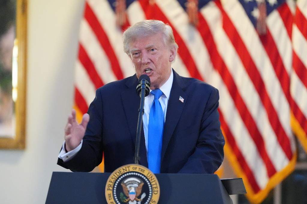
A sharp, digital broadcast cuts through the quiet hum of a winter evening. On social media, a shared image flickers across millions of screens. It is a map of the North Atlantic, familiar in its contours yet profoundly altered in its intent. Greenland, that vast, white, ice-bound shield sitting silently between North America and Europe, is highlighted. Annotated. Claimed, visually at least, by a stroke of digital penmanship from Donald Trump.
Phones buzz. News anchors lean forward in their chairs, their voices dropping into that practiced register of manufactured alarm. Diplomats in Copenhagen stiffen. Fishermen in Nuuk pause, watching the snow blow across the harbor, wondering what a distant billionaire on another continent has decided to do with the horizon they were born under.
To understand why a simple map posted online can rattle the diplomatic pillars of the Arctic, you have to look past the political theatre and look down at the ice.
The Weight of a Sharpie
Imagine standing on the deck of a trawler off the coast of Tasiilaq. The air is so cold it burns your lungs, tasting of salt and ancient frost. The water is a bruised, ink-dark slate, choked with chunks of calved glacier that drift like silent ghost ships through the dark. When you look out at that water, you do not see a geopolitical chess board. You see a living hazard. You see a livelihood. You see home.
Now, imagine watching someone in a warm, wood-paneled room thousands of miles away take a digital stylus and circle your home as if it were a vacant lot on a real estate listing.
It feels absurd. It feels offensive. Yet, history teaches us that maps drawn by powerful men have a terrifying habit of becoming reality.
When political figures start redrawing borders on social media, they are not engaging in cartography. They are engaging in psychological priming. They are testing the structural integrity of international norms. They are asking a simple, dangerous question: How much outrage will this buy?
In the case of Greenland, the stakes are not merely symbolic. This massive island, largely self-governing within the Kingdom of Denmark, sits at the absolute center of the modern world's hidden board game. Beneath its melting ice sheet lie vast, untouched reserves of rare earth elements, critical minerals, and untapped shipping lanes that will define global commerce as the polar ice retreats.
The map is never just the map. The map is the prize.
The Geography of Tomorrow
We have been here before. Humanity has an old, stubborn habit of looking at empty spaces and seeing ownership rather than stewardship.
Think of the 19th-century scramble for Africa, where European powers sat in Berlin with rulers and pencils, carving up a continent they had never set foot on, ignoring ethnic lines, water sources, and human lives. Think of the maritime claims currently slicing up the South China Sea, where imaginary nine-dash lines dictate where massive cargo ships can sail and where nations can drill for oil.
When a prominent American political figure tosses a modified map of the North Atlantic into the digital ecosystem, he is tapping into this ancient imperial reflex. He is signaling to a domestic audience that America’s manifest destiny did not stop at the Pacific coast or the frozen edges of Alaska. It can stretch anywhere ambition reaches.
Yet, the people of Greenland are not blank spaces to be filled in.
I remember talking to a local craftsman in downtown Nuuk a few years ago, listening to him carve a small figurine from whalebone. He spoke of the ice not as a barrier, but as a bridge. He spoke of the weather with a reverence that modern city-dwellers reserve only for the stock market.
"People think we are isolated," he told me, his hands steady with the knife. "They think we are waiting to be saved, or bought, or claimed. But we have lived at the edge of the world for generations. We know who owns this land. The land owns itself."
That perspective rarely makes it into a breaking news chyron. It doesn't fit neatly into a social media post designed to maximize engagement and provoke outrage. But it is the only perspective that matters.
The Echoes in the North
When the digital dust settles and the social media algorithm moves on to the next manufactured crisis, what remains?
The ice is still melting. That is the undeniable, physical truth beneath all the noise. As global temperatures rise, the Northwest Passage opens wider. Mineral deposits that were locked beneath two miles of impenetrable frost for millennia are suddenly accessible. The Arctic is transitioning from a frozen fortress at the top of the world into the most coveted frontier on Earth.
Every major superpower knows this. Beijing is building polar research stations and investing in Arctic infrastructure. Moscow is reopening Soviet-era military bases along its northern coast. And Washington, alternating between strategic calculation and erratic political grandstanding, stares across the Denmark Strait and wonders how to stake a claim before the window closes.
This is the invisible architecture of our century. It is built out of climate change, resource scarcity, and the desperate, frantic desire of declining empires to secure their future by consuming the edges of the map.
When a social media map stirs controversy, we should not laugh it off as mere trolling. Nor should we panic as if an invasion is imminent. We should see it for what it is: a warning flare. It is a glimpse into how the powerful intend to navigate a warming planet. With disregard for local sovereignty. With a digital pen. With the quiet assumption that everything is for sale if the price is right.
Look closely at the North Atlantic. Look past the political posturing and the viral screenshots. Listen to the wind howling off the ice sheet, carrying the sound of a changing world. The lines drawn on a screen will eventually wash away, but the ice—and the people who call it home—will bear the weight of what comes next.