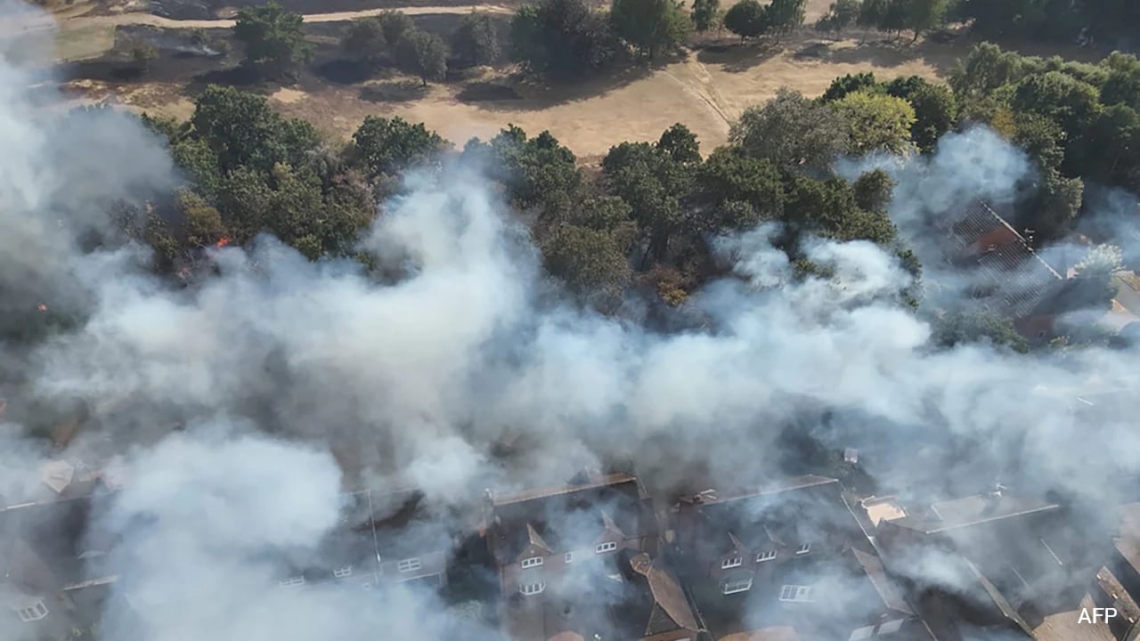
Rapid wildfire expansion in western Iberia demonstrates how extreme meteorological conditions compound topographical vulnerabilities to outpace traditional emergency response thresholds. When a blaze burns 11,000 hectares in a single 24-hour cycle near the Portuguese border in Zamora and surrounding sectors, the operational failure point shifts from firefighting capacity to evacuation velocity. Understanding why 800 residents must flee on short notice requires analyzing the friction between high-intensity fire spread rates and narrow rural infrastructure bottlenecks.
The Velocity Vector and Perimeter Expansion
The primary driver of catastrophic wildfire displacement is the acceleration of the fire perimeter relative to civilian reaction windows. In the recent Zamora and Fermoselle incidents within Castilla y León, extreme low humidity, high ambient temperatures, and unpredictable wind shifts created an environment where the rate of spread exceeded standard containment models. You might also find this similar coverage useful: Political Transitions and Constitutional Mechanics.
Three physical variables dictate this velocity vector:
- Topographical channeling: Fires racing through steep ravines pre-heat the vegetation upslope through radiant and convective heat transfer, causing exponential ignition rates.
- Embankment spotting: High winds carry glowing embers hundreds of meters ahead of the main front, creating secondary ignition points that bypass tactical firebreaks.
- Fuel load density: Decades of rural depopulation in western Spain have left agricultural terraces and pine forests unmanaged, maximizing the dry biomass available per square meter.
When these variables converge, the fire front transitions from a surface fire to an active crown fire. The energy release per linear meter overwhelms direct suppression tactics, forcing regional authorities to prioritize immediate population extraction over defensive line holding. As reported in recent coverage by The New York Times, the results are notable.
The Logistics of Level Two Emergency Protocols
Spain’s deployment of the Military Emergency Unit (UME) under Level 2 criteria highlights the systemic strain placed on regional civil protection agencies. A Level 2 classification is triggered when natural or man-made risks require specialized national assets because local and regional resources are fully saturated.
The logistical architecture of moving 800 individuals out of high-risk rural zones relies on narrow municipal road networks that were never engineered for mass vehicular evacuation.
- Evacuation bottlenecking: Rural hamlets typically feature single-access ingress and egress routes flanked by dense vegetation. When smoke reduces visibility to near zero, vehicular movement slows, transforming evacuation corridors into potential entrapment zones.
- Communication latency: Dispersed aging populations in rural municipalities often lack real-time digital alert integration, delaying the initial departure decision until the threat is visually imminent.
- Asset allocation trade-offs: Incident commanders face a zero-sum resource allocation problem: deploying water-dropping aircraft and heavy machinery to defend infrastructure versus securing open evacuation pathways for civilian transport.
Regional Vulnerability and Structural Deficits
The recurrence of high-magnitude fires in Castilla y León exposes structural vulnerabilities rooted in demographic shifts and land-use economics. As younger generations migrate to urban centers, traditional grazing and small-scale forestry management disappear. Without livestock grazing to clear underbrush, fine fuels accumulate continuously.
When a heatwave pushes drought indices to critical thresholds, this accumulated biomass acts as a continuous fuel bed. The administrative challenge is compounded by administrative fragmentation between municipal, regional, and national jurisdictions, which can slow the speed of inter-agency asset deployment during the critical first six hours of an ignition event.
Deploy heavy aerial firefighting assets exclusively to volatile topographies during the first hour of detection, while simultaneously prepositioning civil protection transport outside historical village bottlenecks to bypass local road congestion.