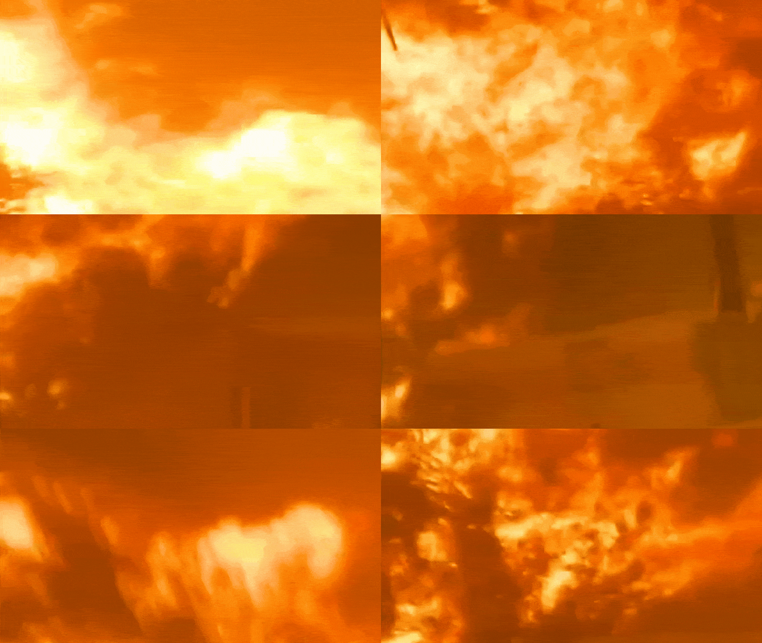
The smoke above Washoe County did not arrive as a polite warning. It slammed into the northwestern edges of Reno with the sudden, suffocating weight of an industrial accident, turning the midday sun into a bruised orange orb.
Within hours, the Hawk Fire scorched more than 15,000 acres of bone-dry Sierra Nevada foothills, forcing tens of thousands of residents into frantic highway bottlenecks. Yet focusing solely on the acreage misses the structural reality of why northern Nevada has transformed into a high-risk flashpoint. This disaster is not an isolated weather anomaly. It is the predictable outcome of overlapping municipal pressures, fragile evacuation corridors, and a regional climate pushed past its breaking point.
The Geography of the Trap
Northwest Reno hugs a steep, rugged interface where urban development meets dense, highly combustible cheatgrass and sagebrush. When the Hawk Fire ignited near Peavine Mountain, erratic winds treated the canyon topography like a wind tunnel.
Flames jumped containment lines and raced toward residential neighborhoods with terrifying speed. Infrastructure vulnerabilities quickly compounded the threat. Major arteries like parts of U.S. Route 395 were forced to close, turning standard escape routes into parking lots.
Thousands of households lost power instantly, neutralizing electric garage doors and home communication systems just as evacuation orders shifted from warnings to mandatory commands. Local emergency management faced an impossible bottleneck: moving nearly 90,000 people out of harm's way across a limited number of mountain-descent roads.
Shelters filled to capacity within the first twelve hours, forcing regional coordinators to scramble for cots and supplies from neighboring states. The crisis exposed the stark limits of suburban expansion in high-risk wildfire corridors, where modern housing density frequently outpaces municipal evacuation capacity.
The Human Element and Resource Strains
Investigators confirmed the Hawk Fire was human-caused, a detail that underscores an uncomfortable truth about modern wildfire management. Whether sparked by accidental recreation or negligence, the ignition source matters less than the landscape's utter intolerance for human error.
When fuels are this desiccated, a single spark behaves like dropped ordnance. State officials mobilized hundreds of personnel, pulling ground crews from across multiple states alongside specialized international support from Australia and New Zealand.
Nevada Governor Joe Lombardo declared a state of emergency, deploying National Guard assets and tactical air support to protect threatened neighborhoods. Even with these heavy interventions, containment remained stalled at zero percent during the critical opening phase.
Firefighters found themselves outpaced not by a lack of bravery, but by physics. High temperatures, low humidity, and unpredictable wind shifts rendered traditional defensive perimeters obsolete. Crews were forced into triage mode, abandoning indefensible structures to secure human life as neighborhoods like Somersett found themselves directly in the crosshairs.
Living on the Edge of Permanent Flammability
The recurrence of major fires across the Truckee River valley highlights a grueling shift in Western ecology. Seasonal brush fires are no longer discrete events separated by years of recovery. They are merging into an almost continuous cycle of disruption.
Communities built around the scenic appeal of the Sierra foothills now face an existential calculus. Insurance rates are climbing out of reach, emergency services are perpetually overextended, and residents live with the persistent dread that a shift in the wind will wipe out decades of local history overnight.
As containment lines slowly expand and displaced families wait for permission to return to damaged properties, the fundamental question facing Reno is not how to fight the next fire. It is whether the current model of rapid foothill development can survive an era where the landscape itself is permanently primed to burn.