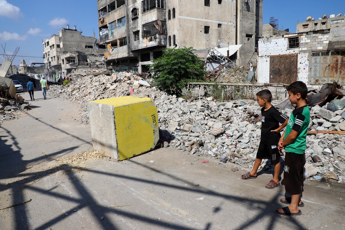
Territorial compression in modern conflict zones operates through predictable mechanical vectors where boundary designations directly translate into physical density shifts and systemic resource scarcity. When designated zones contract, the mathematical available space per capita decreases non-linearly, accelerating friction across logistical supply chains, civilian displacement networks, and municipal infrastructure limits. Understanding this phenomenon requires moving past descriptive reporting to analyze the specific geometry of containment, population distribution matrices, and the cost functions associated with continuous perimeter adjustments.
The Mechanics of Spatial Contraction
Physical confinement within densely populated urban environments creates an immediate geometric squeeze. As administrative boundaries shrink, populations are forced inward, collapsing the buffer space that typically separates residential living from operational zones.
This contraction functions through three distinct mechanisms:
- Perimeter Retraction: The physical or administrative shift of demarcation lines inward, reducing the total absolute square mileage available for civilian presence.
- Density Amplification: The forced redistribution of displaced populations from peripheral sectors into core urban pockets, causing exponential spikes in local population density.
- Infrastructure Isolation: The severing of access routes to utility hubs, agricultural breadbaskets, and primary medical facilities situated outside the newly drawn operational perimeters.
When lines of demarcation shift, they alter the carrying capacity of the remaining territory. Carrying capacity is not a static figure; it scales directly with functional access to water, sanitation, electricity, and shelter materials.
The Logistics of Density and Resource Friction
As available space approaches zero-sum limits, the friction of distance and movement spikes. In operational analysis, friction refers to the forces that make simple logistical tasks exceedingly difficult. Within a compressed zone, basic survival tasks—such as procuring potable water or seeking medical intervention—require navigating extreme physical congestion and hazard profiles.
Supply distribution networks fail under these conditions due to terminal bottlenecks. Traditional supply chains rely on dispersion and multiple routing options. When geographic boundaries narrow, the number of viable transit corridors drops to a fraction of baseline requirements. This bottleneck effect concentrates movement into narrow channels, creating predictable choke points where distribution velocity drops toward zero.
The secondary effect of this compression is the exhaustion of local absorption capacity. Host communities within the retained zones exhaust their capacity to shelter, feed, and support incoming populations within days of a boundary shift. Municipal waste management systems collapse first, followed rapidly by localized water tables and sewage containment structures, introducing severe public health variables into the operational equation.
Behavioral Adaptation and the Movement Vector
Populations subjected to continuous spatial reduction develop specific risk-mitigation strategies that alter traditional urban geography. Movement ceases to be random or convenience-driven; it becomes strictly calculated based on proximity to perceived safety indicators and emergency resource distribution points.
The decision matrix for civilian movement under compression involves weighing three competing variables:
- Exposure Risk: The immediate physical danger associated with traversing contested or restricted sectors.
- Resource Depletion: The rate at which food, water, and medical supplies are exhausted at the current location.
- Information Asymmetry: The reliability, speed, and clarity of advance notice regarding boundary modifications.
Because information channels are frequently disrupted during periods of active operational shifts, civilian response times lag behind administrative or physical line changes. This temporal gap between a boundary movement and the civilian population's ability to react accounts for the high friction observed during perimeter adjustments.
The Operational Cost Function
To rigorously evaluate the impact of yellow line demarcations or similar administrative boundaries, analysts must utilize a cost function that weighs territorial gain against systemic degradation. The utility of a compressed zone degrades rapidly as population density surpasses the threshold of basic infrastructural support.
When density exceeds infrastructural limits, the cost shifts from tactical containment to comprehensive humanitarian failure. The variables governing this equation include square footage per displaced individual, daily caloric intake distribution rates, and medical bed availability per capita.
Strategic planning that fails to account for the mathematical reality of spatial limits consistently underestimates the secondary and tertiary shocks of confinement. Long-term stability metrics indicate that densely packed, resource-starved zones generate escalating systemic instability that eventually neutralizes the intended operational goals of the original boundary designation.
Establish a dynamic tracking model that measures spatial availability against population flow rates in real-time, tying every perimeter adjustment directly to an updated logistics capacity index before executing physical boundary modifications.


